A geographical schema is a set of topographic data describing geographic features and free-form data related to these features. The data can be grouped into the logical series.
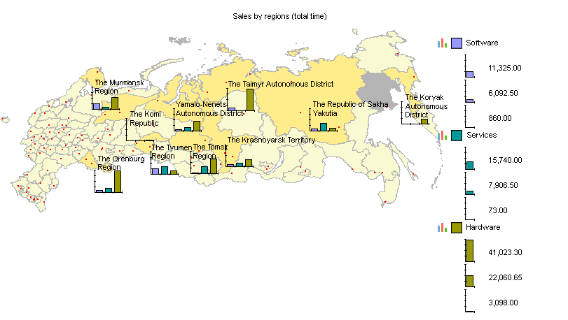
Fig. 279. A geographical schema
You can use a geographical schema independently (a Geographical schema document) or you can embed it into a spreadsheet document. In the latter case you can specify a spreadsheet area for embedding a geographical schema. A geographical schema can also be located within a form, in this case its source data is specified by the application developer.
A geographical schema contains geographic objects, which are usually grouped by type or by several attributes using layers.
- Layer. A set of geographical objects grouped by some attributes. For example, the Rivers layer contains objects describing the geometry of rivers in the region, and the Districts layer contains a description of city districts.
- Layer object. An elementary object describing topological data of a specific geographic feature. For example, it can describe the contours of a region.
Objects are divided into the following classes:- Point object. An object that can be represented as a point. For example, cities can be represented as point objects on a large-scale map.
- Multipoint object. An object that can be represented by multiple points. For example, cities in a region can be grouped by population, each group represented by a multipoint object.
- Polyline object. An object that can be represented as a line. For example, a river or a highway.
- Polygonal object. An object that defines some area. For example, Nebraska state can be represented by a polygonal object.
- Series. Free-form data grouped by some attribute. For example, annual sales by region.
- Series value. A value of a data series associated with a specific object. For example, for the "Annual sales by city" data series, a series value is the sales amount for a particular city in a particular year.
- Shapefile. A file of topological data created using software of the ESRI ArcGIS family. It can contain data linked to topological features. Each file contains a single layer. A geographical schema can read such files as layers.
Warning! 1C:Enterprise does not provide tools for creating shape files.
A geographical schema is a rectangular area that contains a plot area, a title, and legends.
You can move or resize areas, specify area properties, or hide areas (except for the plot area). When you resize a geographical schema, the areas are resized proportionally. - Plot area. Contains coordinate axes and visual data.
- Title area. Contains the schema title.
- Legend area. Contains the descriptions of map symbols.