Once you have imported layers into a document, you can customize the properties of individual objects. To do so, double-click an object. This opens the object properties dialog box.
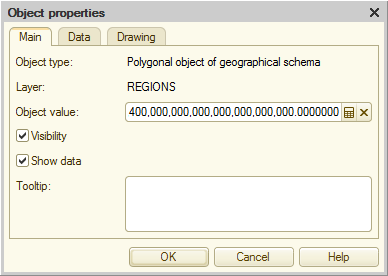
Fig. 282. Main properties of a geographical schema object
On the Main tab, specify the basic object properties.
The Data tab contains a list of series, their drawing types, and their values.
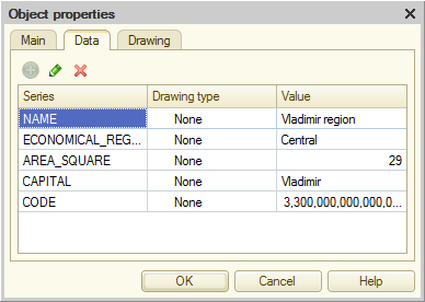
Fig. 283. Data of a geographical schema object
On the Drawing tab, specify the object formatting.
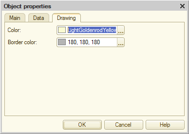
Fig. 284. Formatting of a geographical schema object
Next page: Specifying geographical schema properties